

A World of Maps
Miscellanous maps made for all sort of customers: youtube channels,
Ice
As a cartographer, I have been fascinated by ice, icecaps, glaciers mountains and polar environments and have had the privilege to work with people sharing the same interest. You’ll find below the result of these fruitful collaboration.
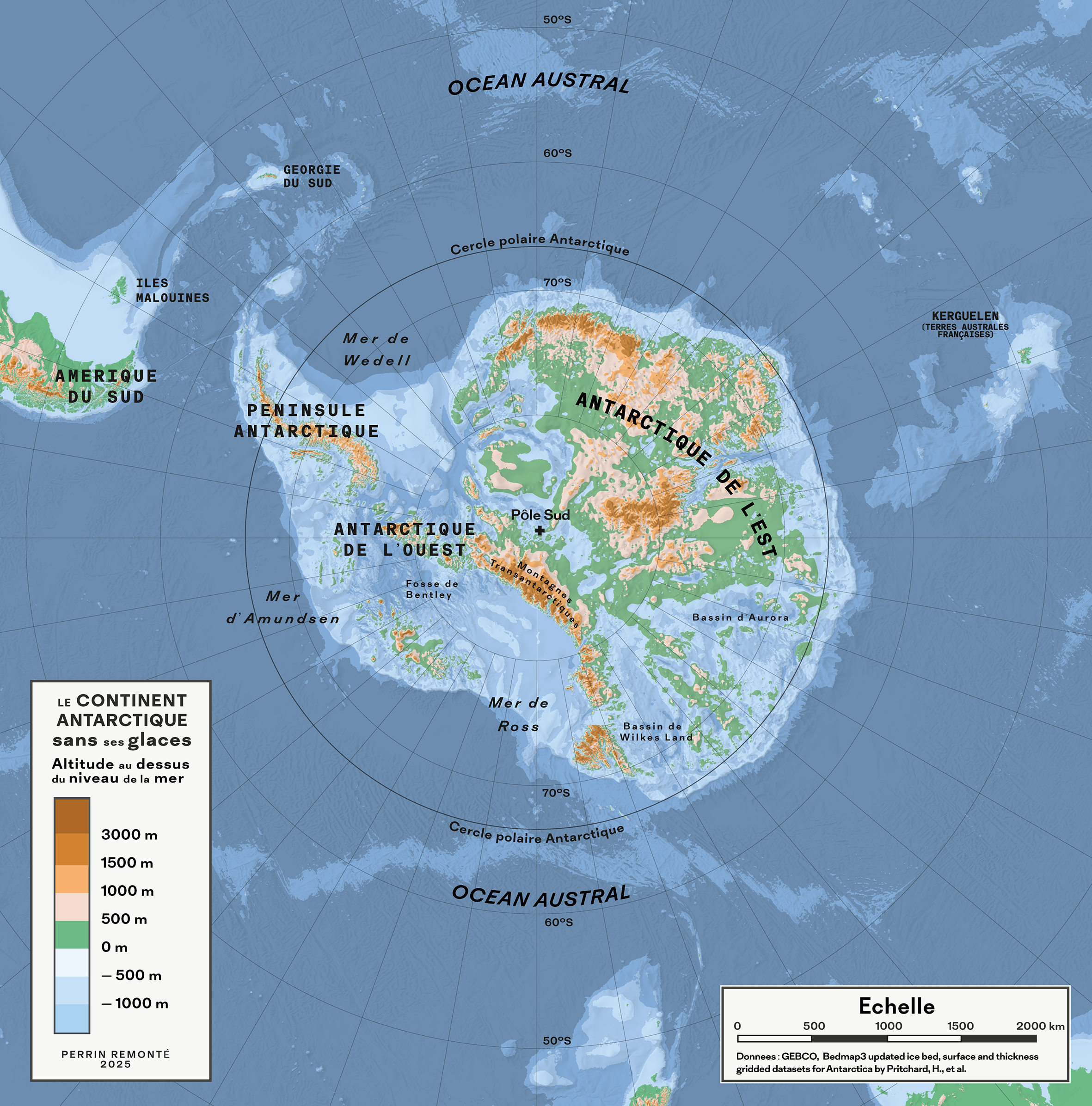
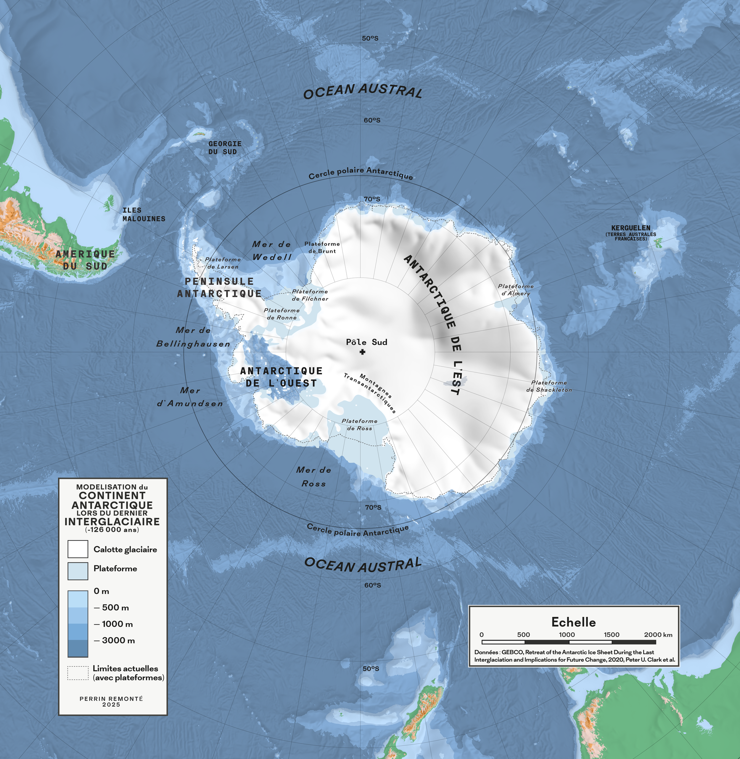
Maps created for Greenletter Club, one of France’s leading environmental media outlets, featured in a video exploring the past and potential futures of the Antarctic ice sheet based on the latest research on the topic.
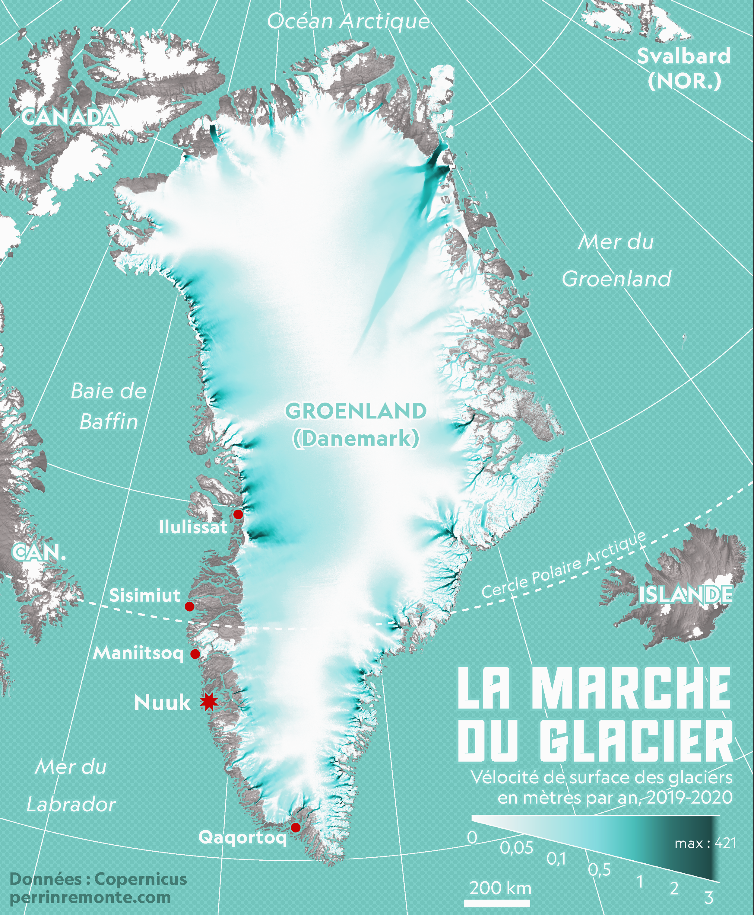
A map created for Matthieu Tordeur, a french polar expolorer who crossed Greenland’s ice cap in 2024 with glaciologist Heïdi Sevestre for scientific research and vulgarization
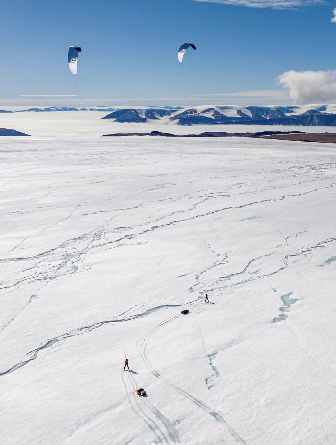
Credits photo: M. Tordeur, H. Sevestre
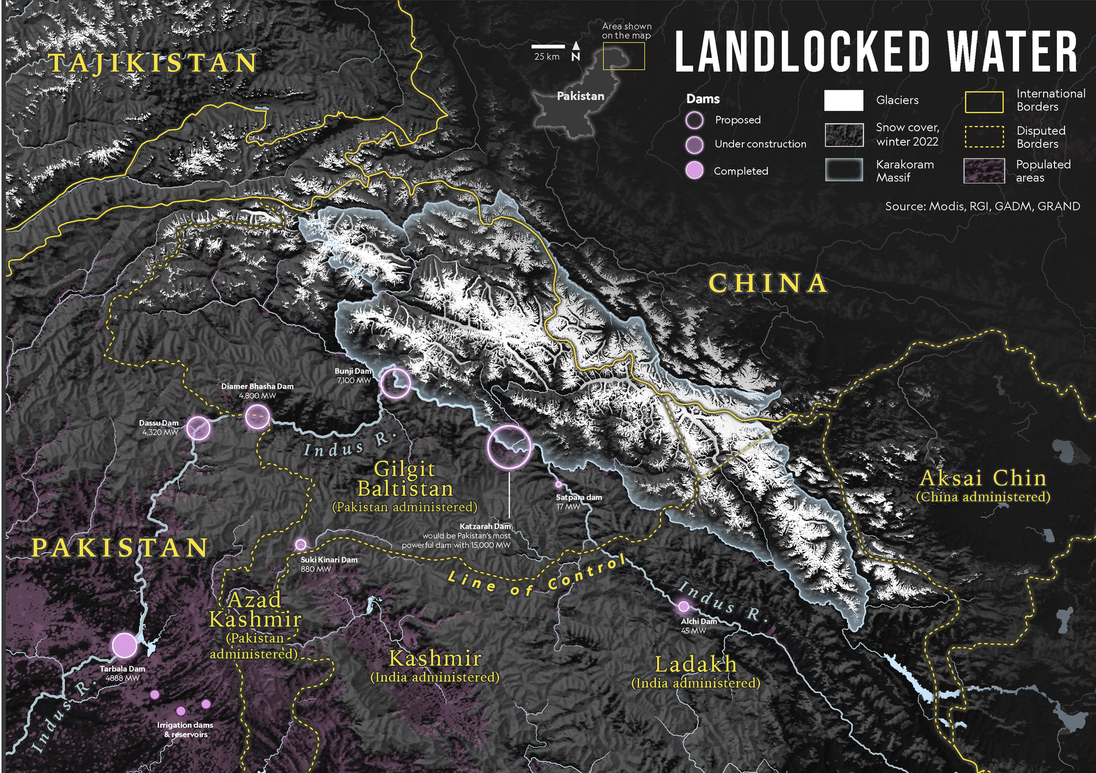
The Third Pole
In 2022, I joined a team of glaciologists on expeditions to the Swiss Alps and the "Third Pole" in the Karakoram of northern Pakistan, documenting their work through original maps and documentary photography. The project culminated in a feature article highlighting the crucial role of glaciers as the water towers of our planet and the scientists working on the front lines to understand their rapid transformation in a changing climate.
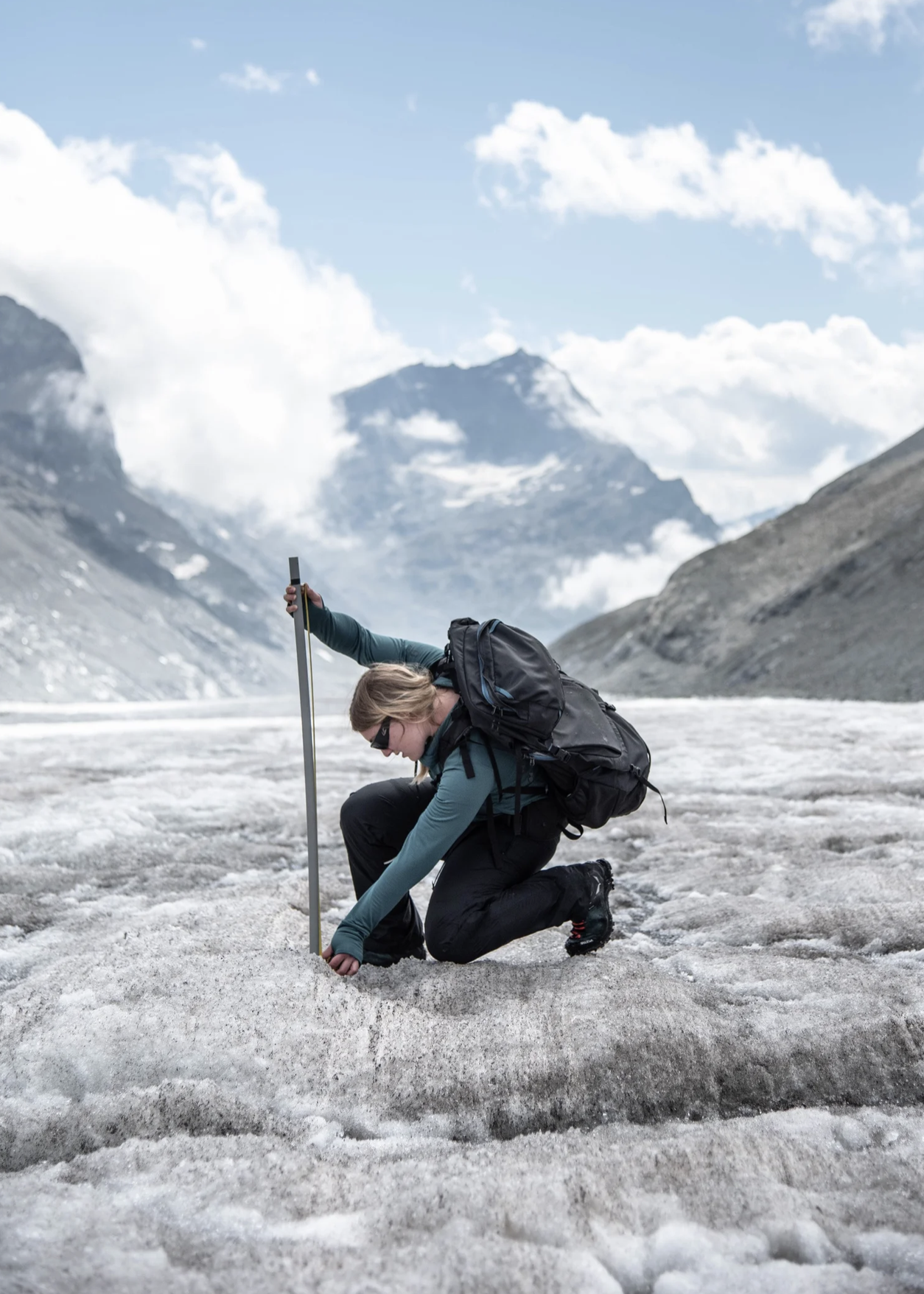
Photo from the fieldwork
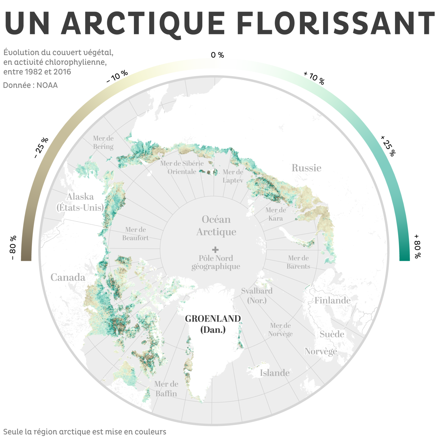
A greener Arctic
A map created for the montly magazine Terre Sauvage depicting the current ‘greenification’ of the Arctic.
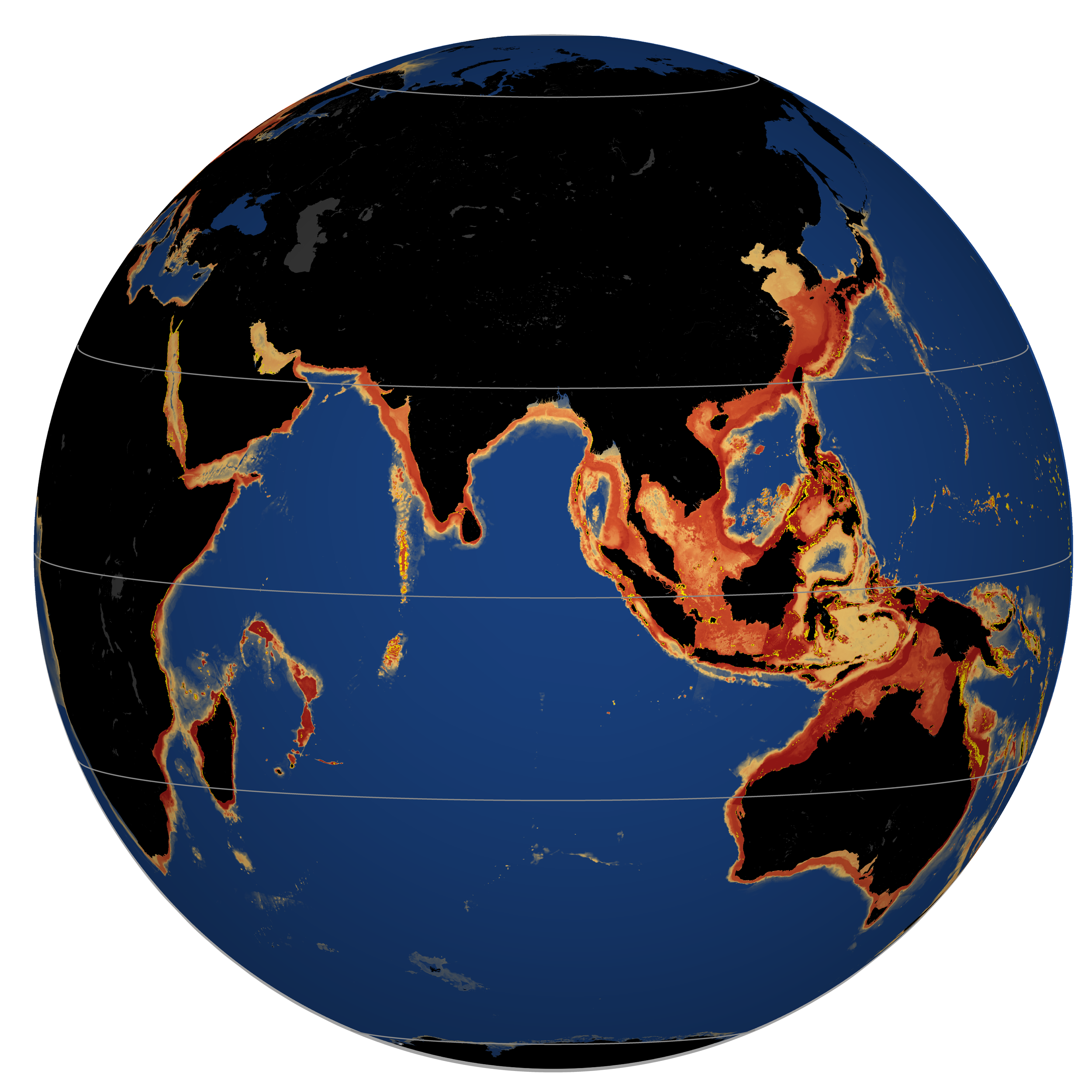
Maps for Museums
In 2025, I created a series of large-format custom maps for the new pavilion at Océanopolis, France's leading oceanography museum, in Brest.
Combining scientific accuracy with refined visual design, these maps transform complex environmental data into engaging exhibits. From kelp forests and sea surface temperatures to seamounts and a reconstruction of Earth 450 million years ago—when the earliest sharks appeared—they help tell the story of our oceans to thousands of museum visitors.
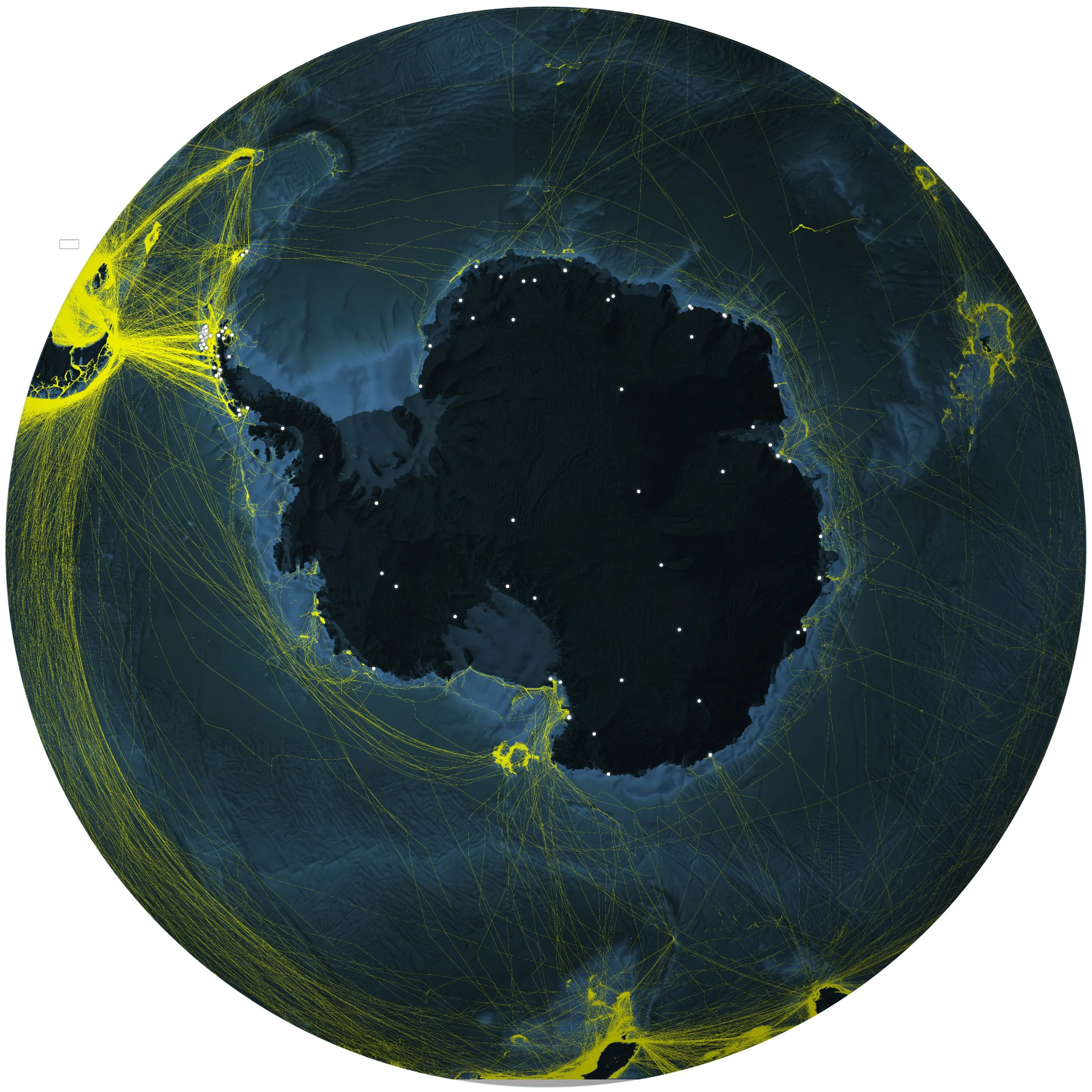
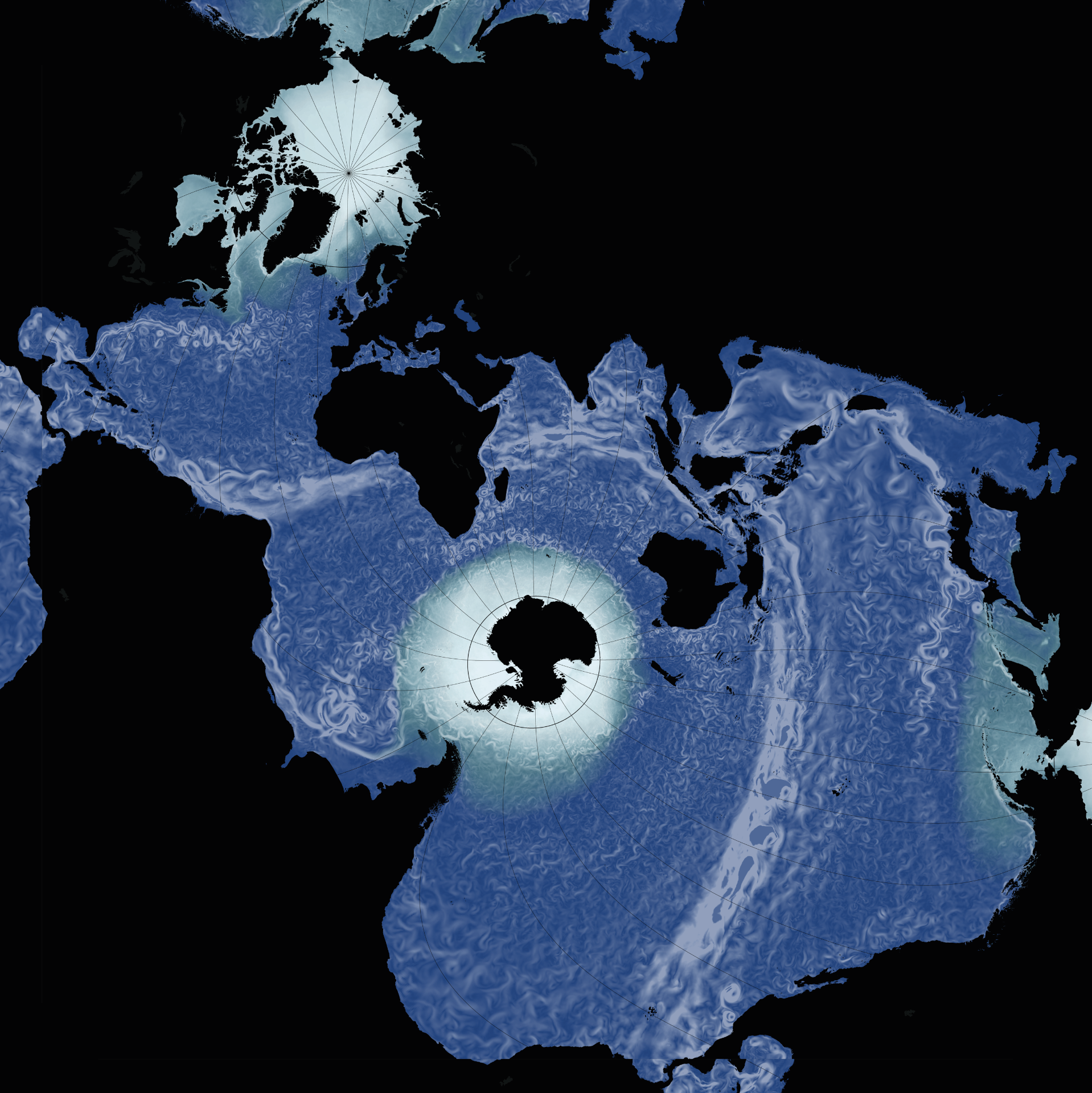
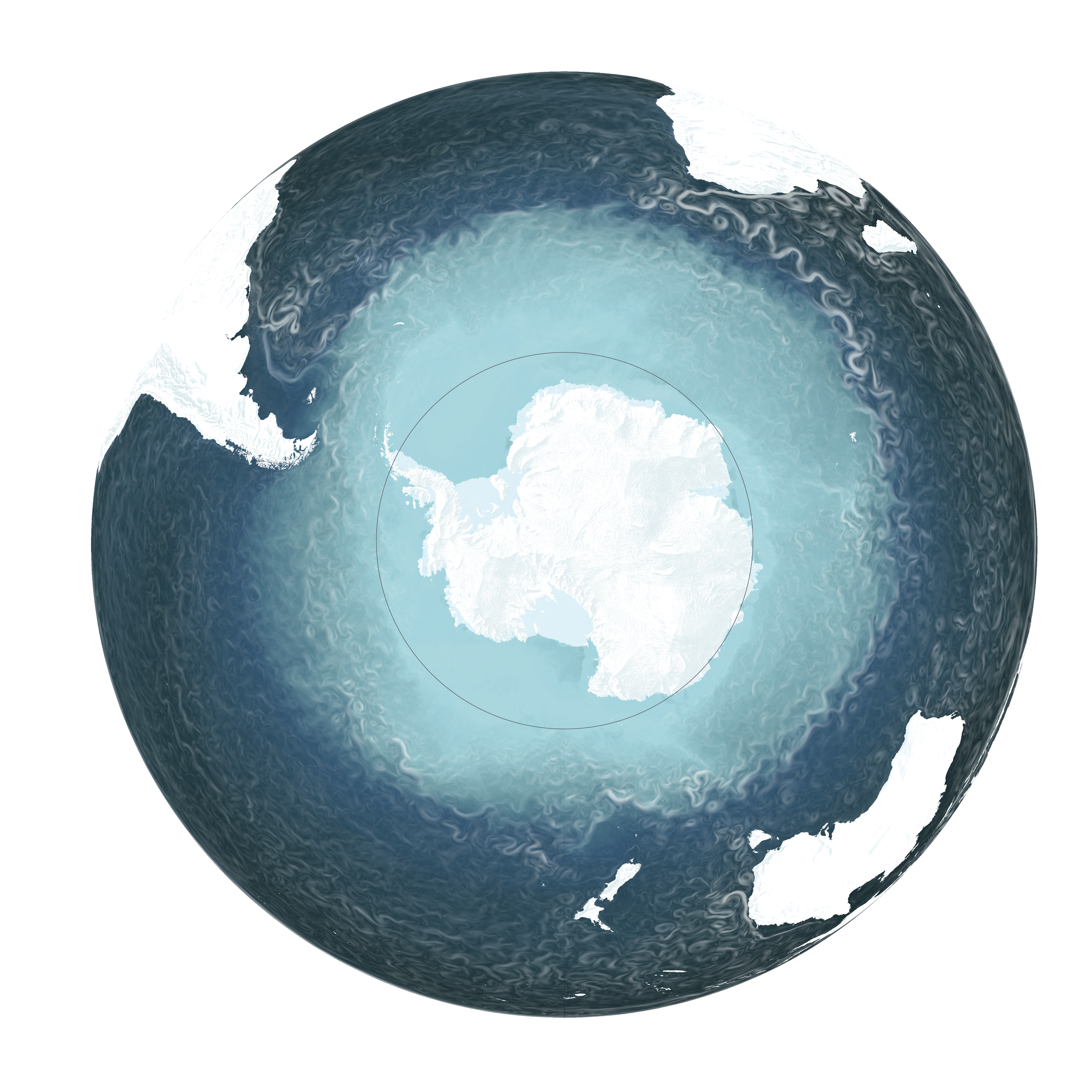
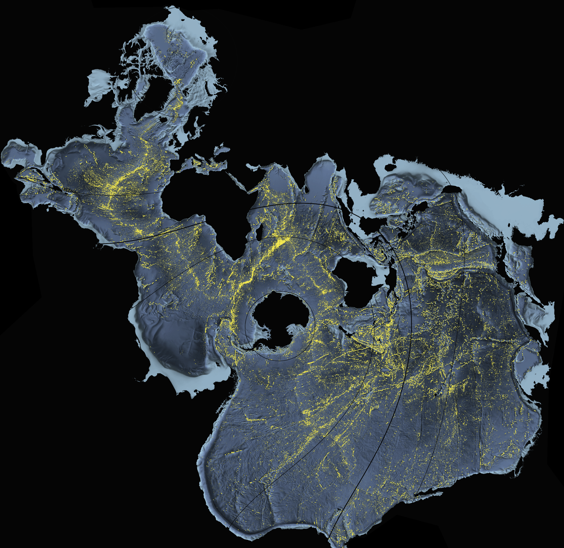
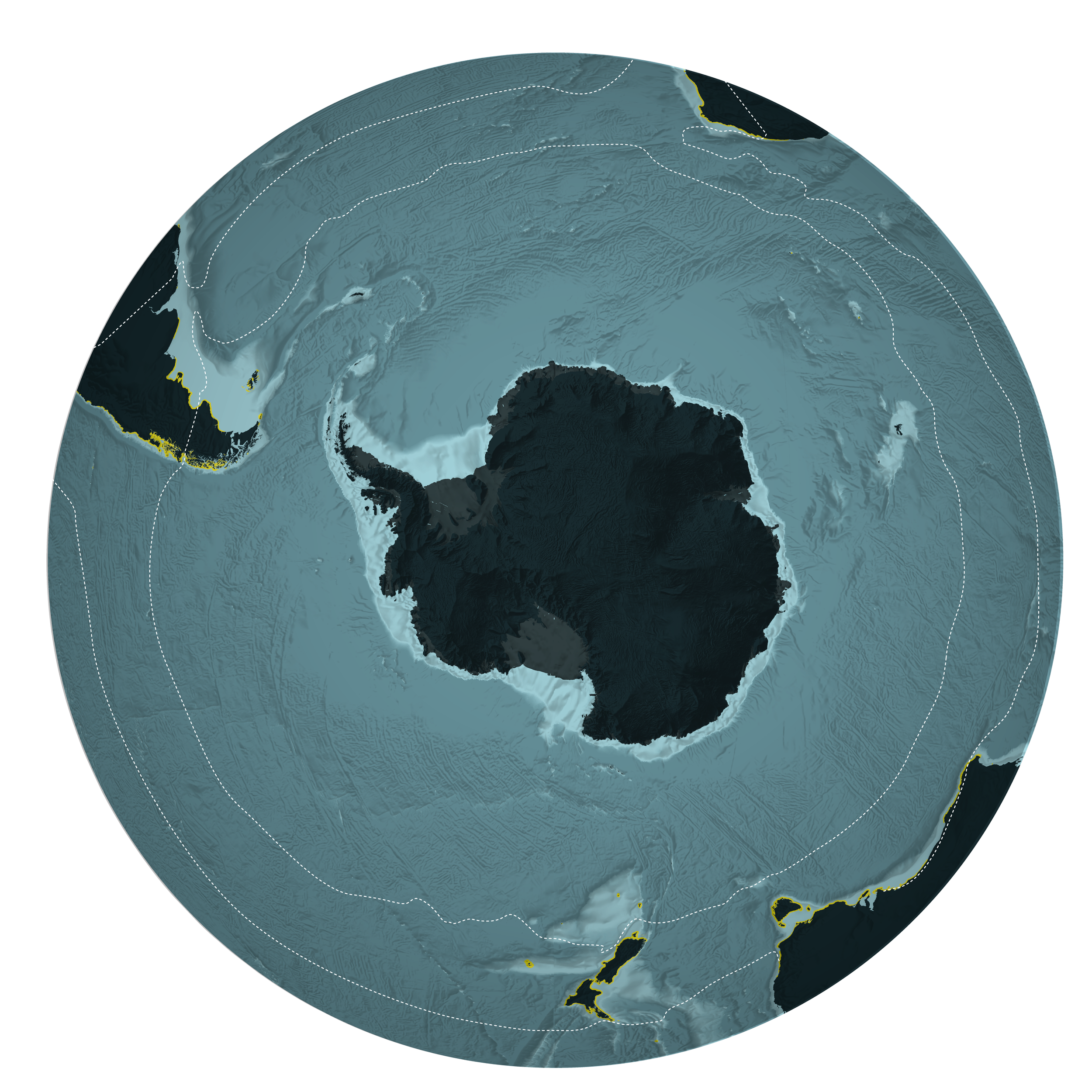
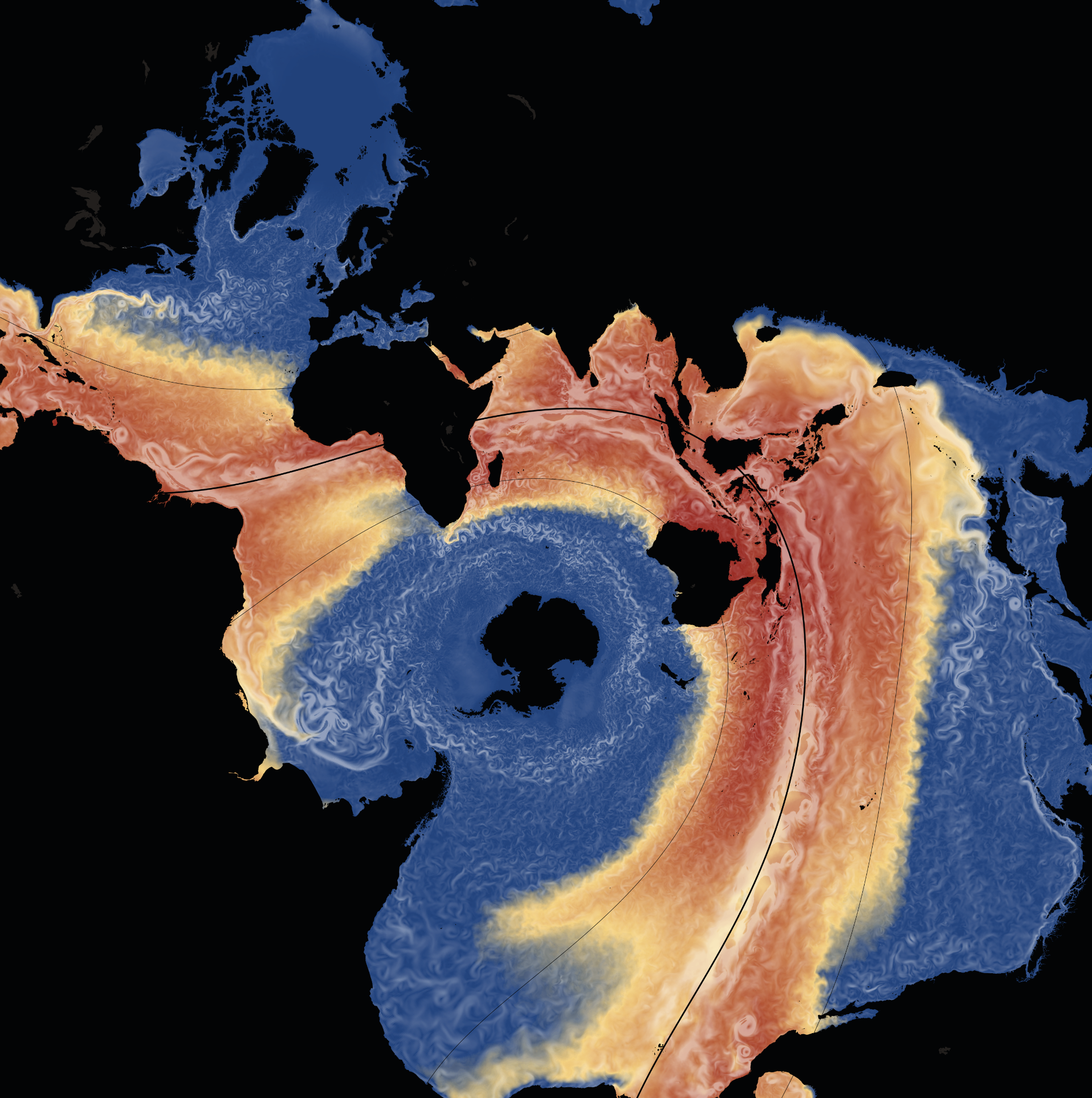
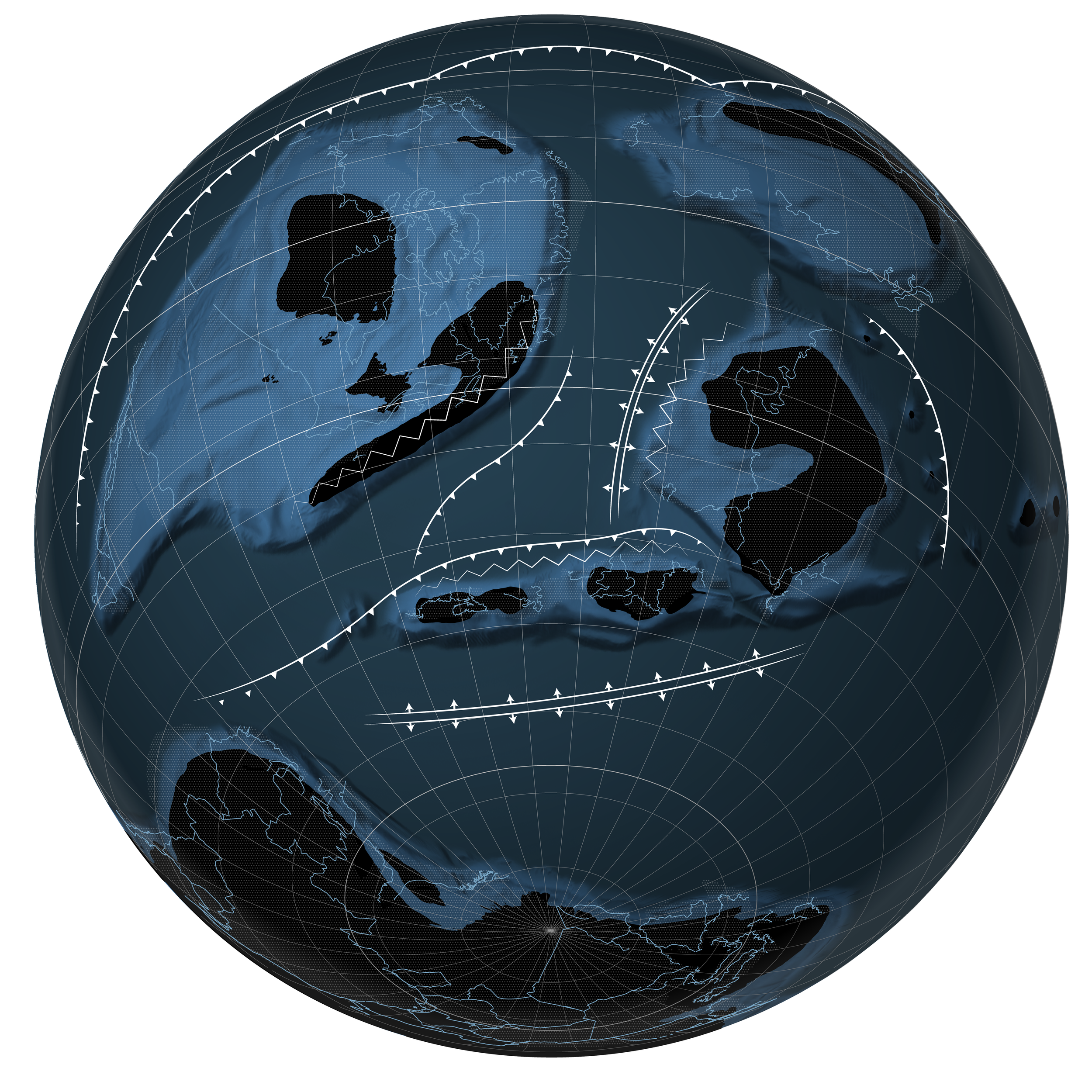
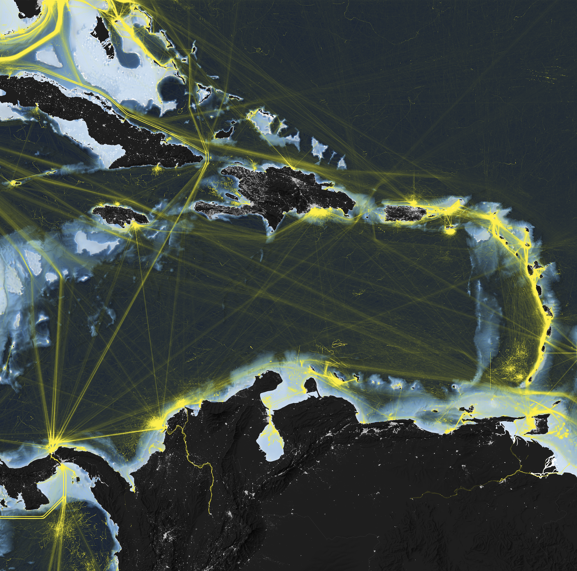
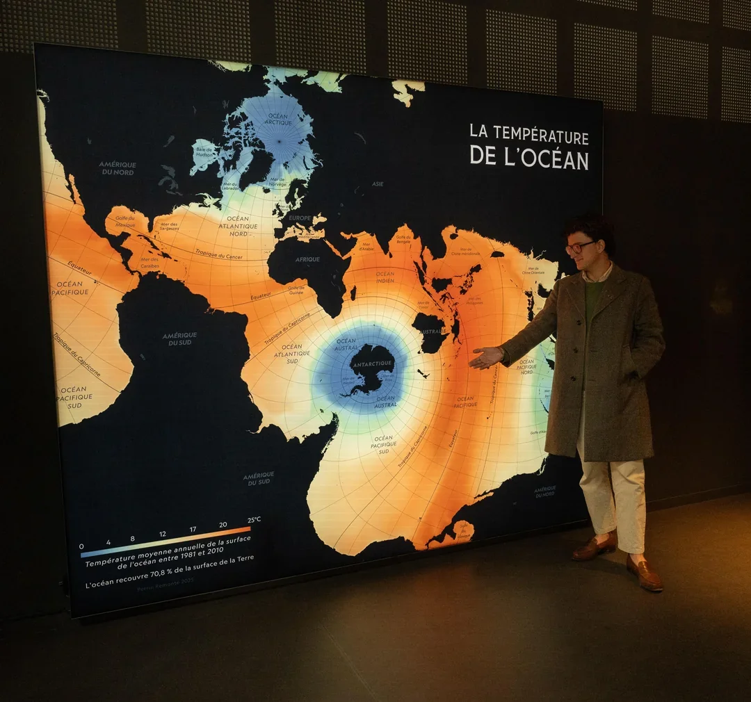
A 3 × 4 meters map designed for the museum 70.8, in Brest
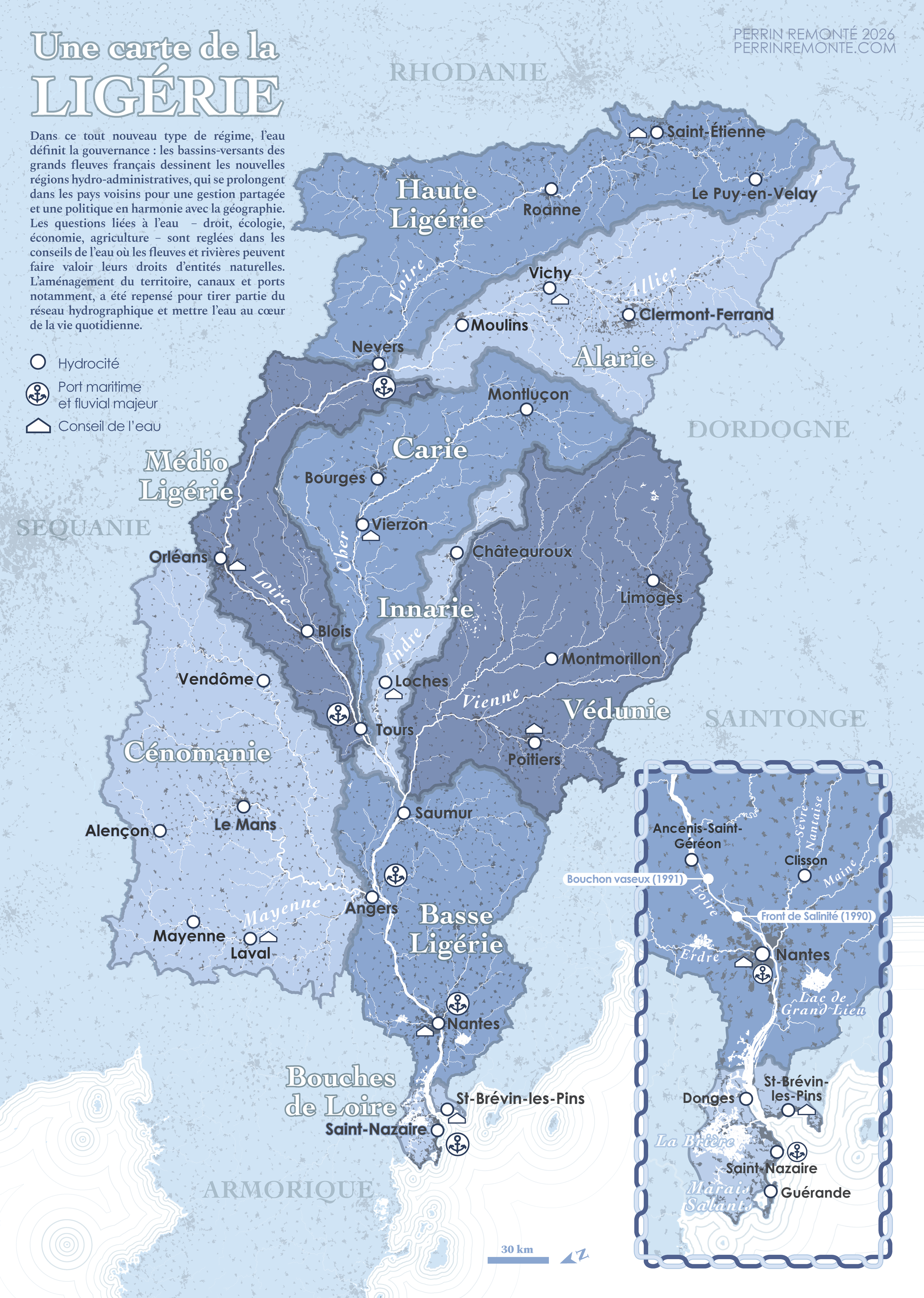
Hydrocracy
Created for AURAN, the urban planning agency of the Nantes metropolitan area, this speculative map reimagines the Loire watershed as an independent political and administrative entity. Rivers rather than borders define the territory, giving rise to new capitals, ports, economic practices and governance structures. By placing the watershed at the heart of decision-making, the project explores an alternative geography shaped by water—a form of "hydrocracy" where political power follows the logic of the river rather than conventional administrative boundaries.