Discover the new British Archipelago, revealed by a 70-metre rise in sea level, following the melting of all the glaciers and ice caps on Earth.
A brief cartographic glimpse into a hypothetical, fictional yet highly topical scenario, it depicts a country of floating cities, ships and seaplanes, of relocated or newly built cities, often given new names — not without a touch of whimsy!
HD, printable in a A1 format (59,4×84 cm) – or less, CMYK image
Discover the new British Archipelago, revealed by a 70-metre rise in sea level, following the melting of all the glaciers and ice caps on Earth.
A brief cartographic glimpse into a hypothetical, fictional yet highly topical scenario, it depicts a country of floating cities, ships and seaplanes, of relocated or newly built cities, often given new names — not without a touch of whimsy!
HD, printable in a A1 format (59,4×84 cm) – or less, CMYK image


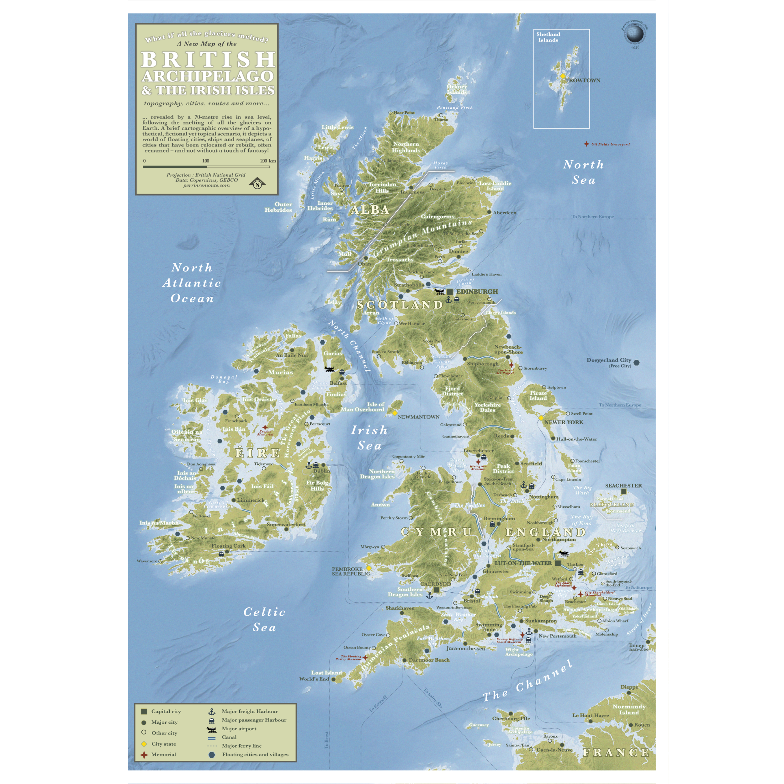 Image 1 sur 6
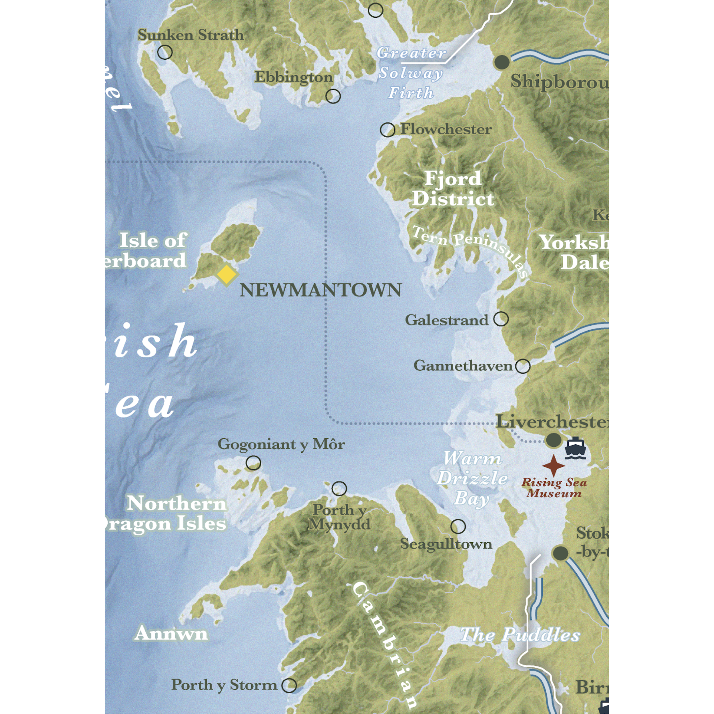 Image 2 sur 6
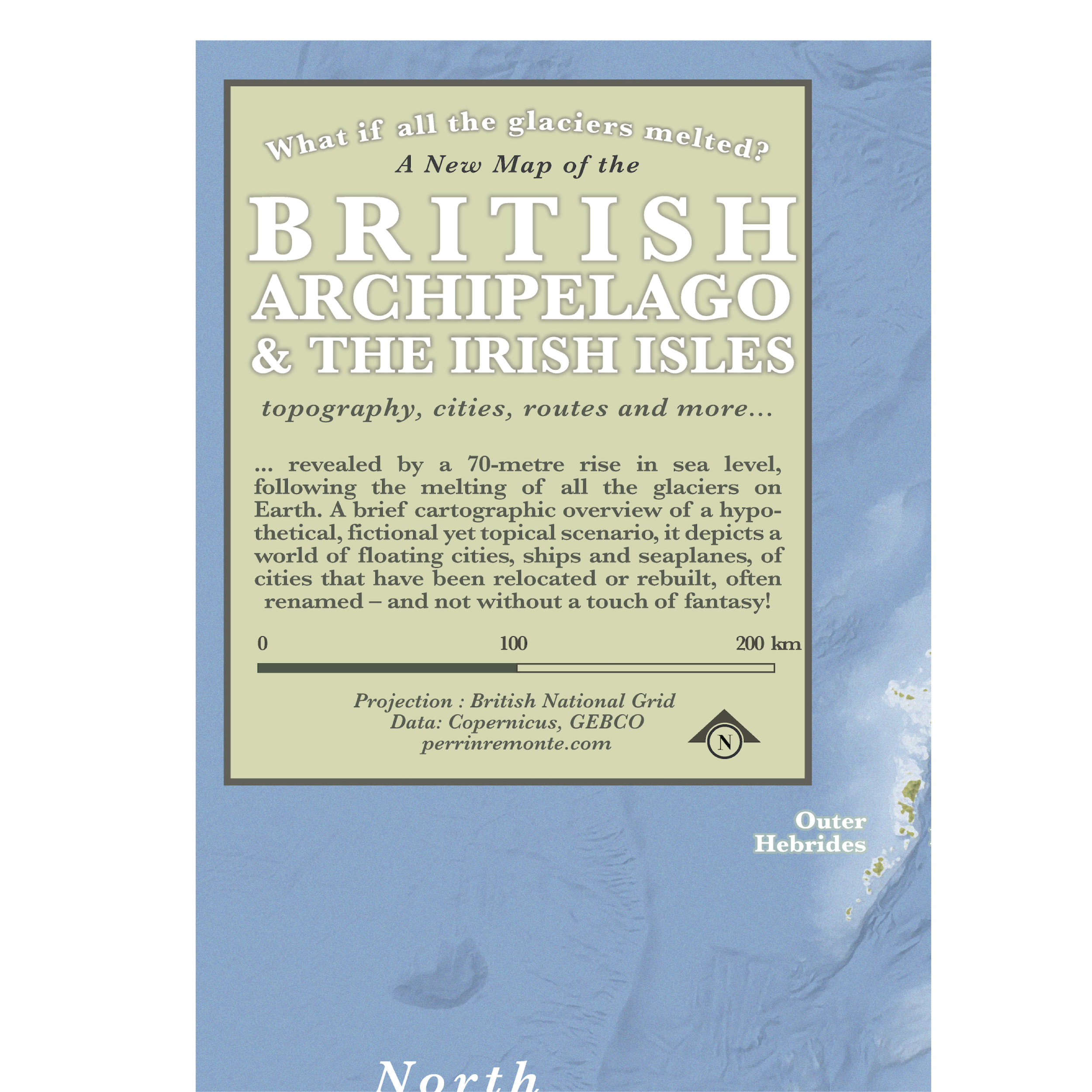 Image 3 sur 6
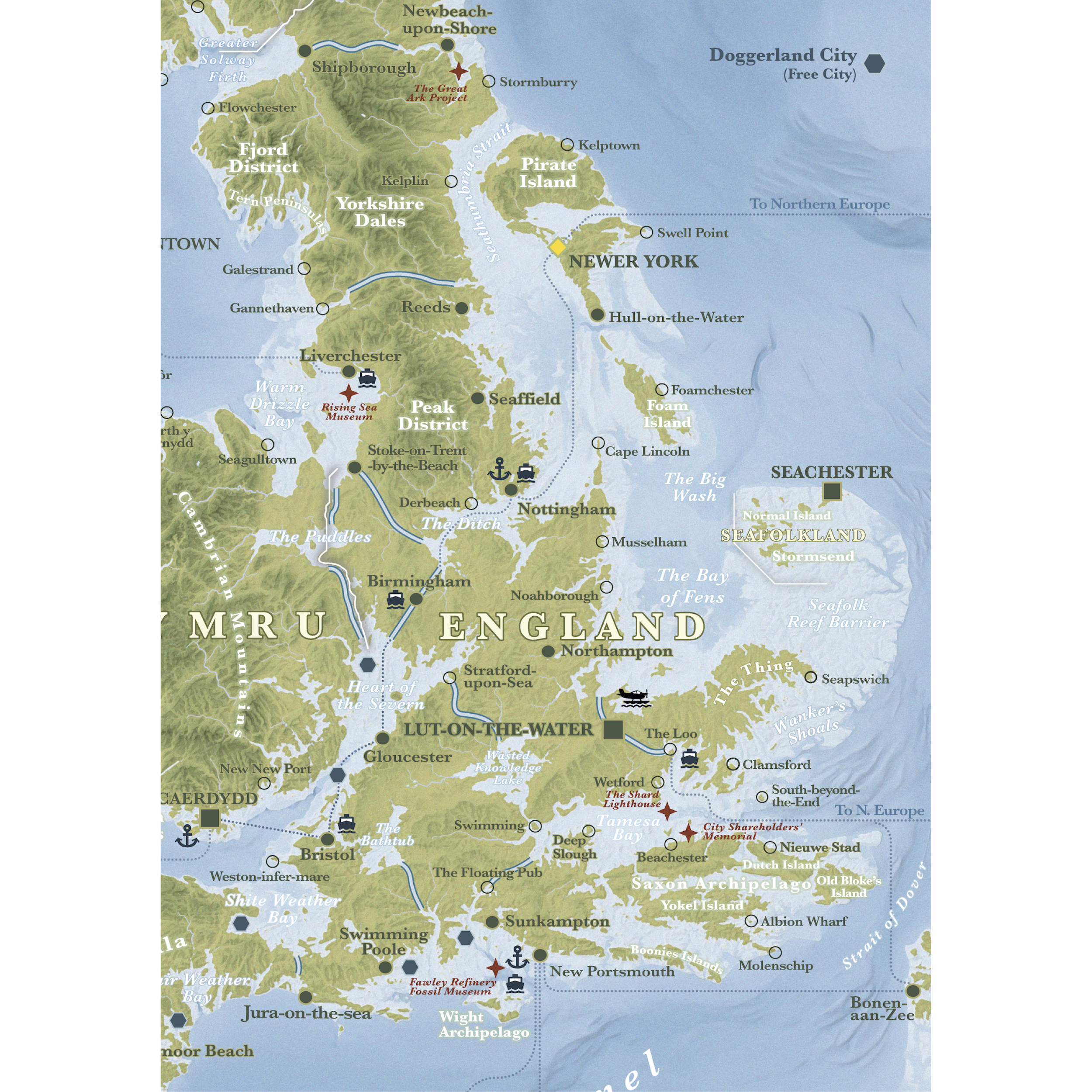 Image 4 sur 6
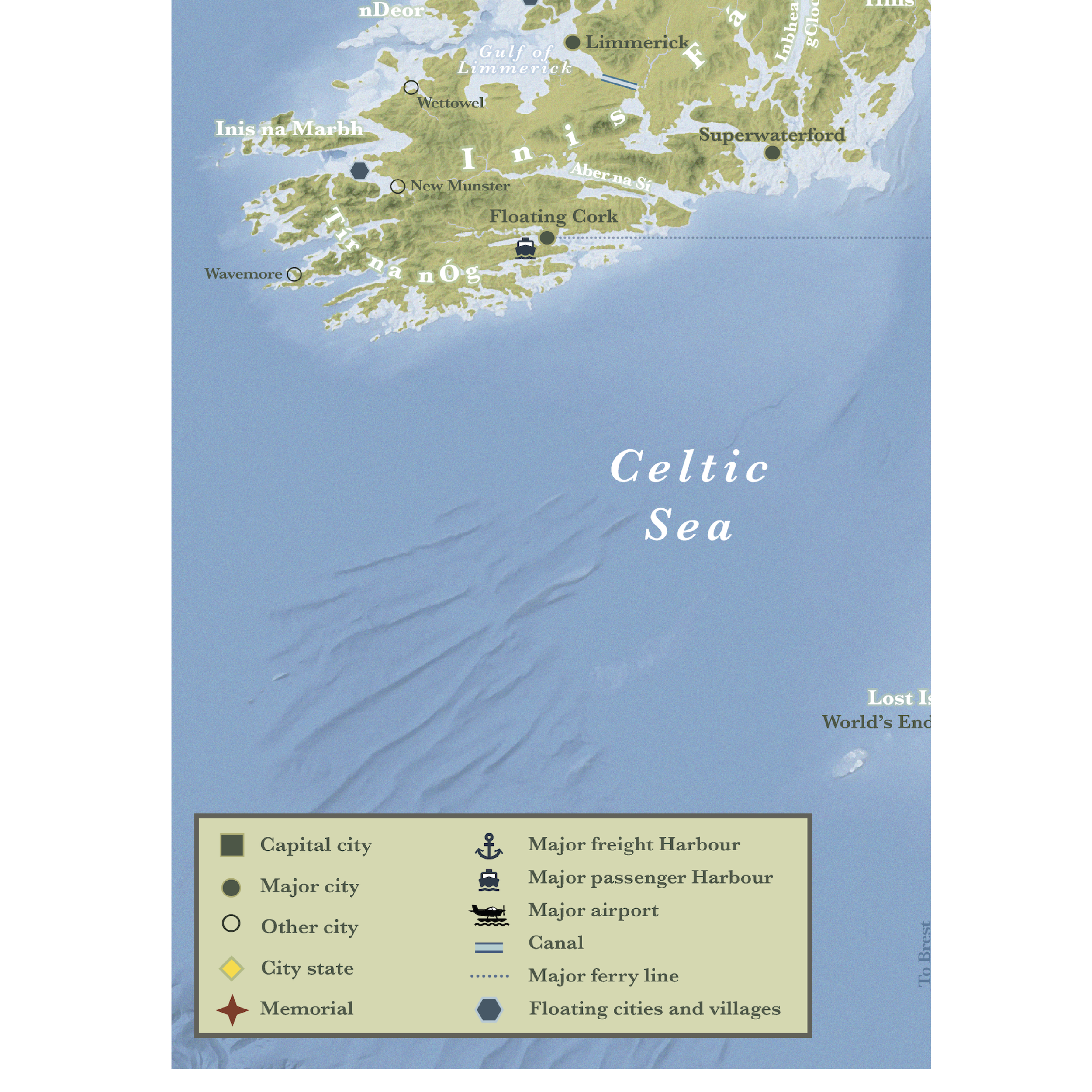 Image 5 sur 6
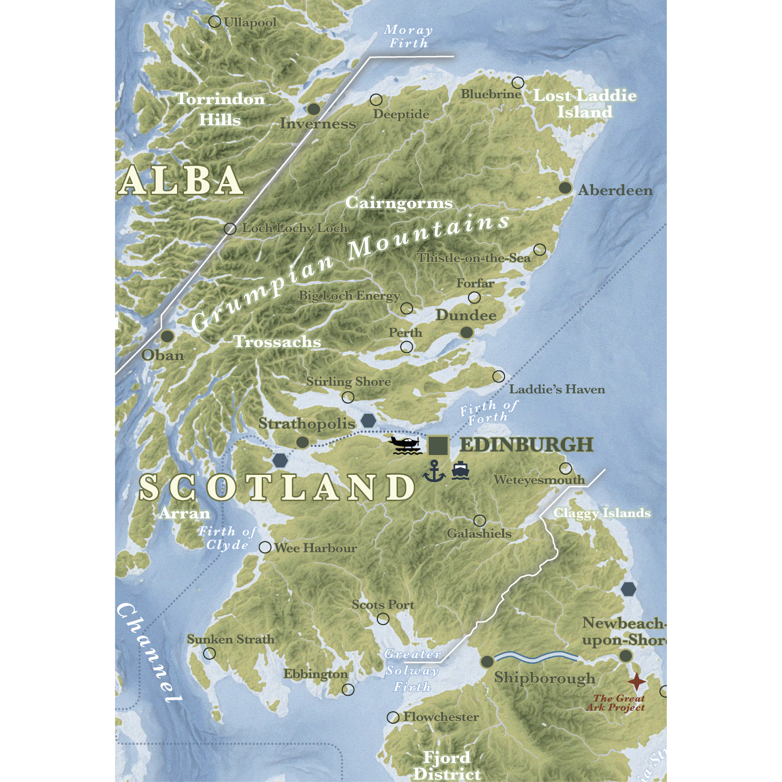 Image 6 sur 6